
Adelaide is in for a mostly settled start to the weekend, with sunshine on Friday and Saturday before showers move in on Sunday and cooler conditions follow early next week.
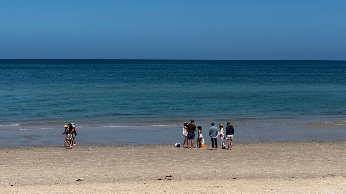
The city’s forecast has that classic spring swing to it, starting bright and calm before a brief wetter change passes through. Friday is shaping up as the pick for anyone planning time outdoors, with sunny skies, light winds and a top of 21 degrees in the city. It will be a comfortable day across the suburbs too, with Glenelg, Noarlunga and Mount Barker all heading for 19 degrees, while Elizabeth reaches 21 degrees. With the UV Index expected to hit 6, sun protection will still be worth keeping in mind through the middle of the day.
Saturday stays on the pleasant side and turns a little warmer, with Adelaide expected to reach 24 degrees after a cool start of 12 degrees. Skies will stay mostly sunny, and while northeasterly winds will pick up at times.
By Sunday, the week’s first real change arrives. Cloud will increase, showers become more likely through the morning and afternoon, and there is also the chance of a thunderstorm in the morning. Temperatures will ease back slightly to 22 degrees after an overnight low of 16 degrees. Winds will shift during the day, swinging from northwest to west and then west to southwesterly by the afternoon, which should make it feel cooler as the day goes on. Rainfall totals in Adelaide are expected to stay fairly light, with 0 to 2mm forecast, but it could still make for a damp end to the weekend.
That cooler run continues into Monday, with a cloudy day and another chance of showers. Adelaide is forecast to reach 19 degrees, with a low of 11, as westerly winds turn southwesterly in the afternoon. It doesn’t look like a washout, but it will be a noticeable step down from Saturday’s warmth.
From there, conditions begin to settle again. Tuesday is expected to be partly cloudy with just a slight chance of rain and a top of 18 degrees. Southwesterly winds will turn southerly during the morning, keeping things fresh and cool. Wednesday then brings a cleaner, brighter day, with sunshine returning and light winds becoming easterly and then southeasterly. After a chilly morning low of 7 degrees, the city should climb to 19 degrees. By Thursday, Adelaide warms up again under sunny skies, with a forecast minimum of 9 and a top of 22 degrees, rounding out a week that moves from spring sunshine to a brief wet change and back again.
Across regional South Australia, the story is a little more varied. Friday stays dry for most districts, though isolated showers and thunderstorms are possible in the far west, while patchy morning fog may affect eastern districts. Saturday remains mostly dry as well, apart from the chance of a shower or thunderstorm in the far southwest during the evening, with above-average temperatures across much of the state.
Sunday is when conditions become more active, with showers and isolated thunderstorms spreading across the west and south as a trough moves through. Monday keeps showers and isolated thunderstorms going in the far west, while isolated showers develop along southern coastal districts in the afternoon and extend across the southern agricultural area in the evening. Rainfall totals to the end of Monday are expected to be low through much of the south, though southern coastal districts could see 2 to 5mm, increasing to 5 to 10mm in parts of the Lower South East. The far west is set for the heaviest falls, with 5 to 15mm likely west of about Ceduna and local heavier falls of 15 to 30mm possible.
Happy Friday!
Adelaide 7-Day Summary Forecast
Friday: Max 21°C – Sunny.
Saturday: Min 12°C, Max 24°C – Mostly sunny.
Sunday: Min 16°C, Max 22°C – Shower or two.
Monday: Min 11°C, Max 19°C – Shower or two.
Tuesday: Min 10°C, Max 18°C – Partly cloudy.
Wednesday: Min 7°C, Max 19°C – Sunny.
Thursday: Min 9°C, Max 22°C – Sunny.