
Adelaide is set for a warm start to the week before a cooler, wetter change moves through, bringing showers and the chance of thunderstorms by Thursday just as the city heads into the first days of October.
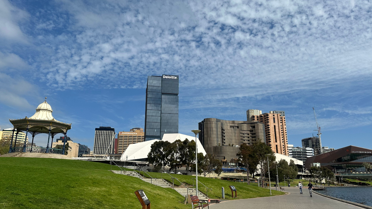
Today is looking fairly comfortable across Adelaide, with partly cloudy skies and a top of 27 degrees in the city. Easterly winds will turn northeasterly as the day goes on, keeping things on the mild side without much chance of rain. Around the suburbs, temperatures will sit in the mid to high 20s, with Glenelg reaching 26 degrees, Elizabeth 27, Noarlunga 25 and Mount Barker a slightly cooler 24. It is also a day to keep sun safety in mind, with a high UV Index of 7 and sun protection recommended from 8:50am to 3:10pm.
The heat builds quickly on Tuesday, with Adelaide heading for 32 degrees under increasing cloud. Northeasterly winds of 25 to 40 km/h are expected to make it feel quite warm through the day before a southerly to southwesterly shift arrives in the evening. Rain is still unlikely for most of the day, but the change will set up a cooler and more unsettled middle of the week.
By Wednesday, the city eases back to 25 degrees with cloudy conditions settling in. There is a medium chance of showers, most likely later in the day, and the chance of an evening thunderstorm.
Thursday looks to be the wettest day of the week for Adelaide. The temperature is forecast to top out at just 21 degrees, with showers likely through the morning and afternoon and a possible thunderstorm mixed in. Rainfall totals of 2 to 7mm are possible in the city, and west to southwesterly winds will pick up during the day as cooler air moves in.
The weather settles again heading into the long weekend stretch. Friday will be partly cloudy with a cooler maximum of 19 degrees after an overnight low of 10. Saturday stays partly cloudy and crisp, dropping to 8 degrees overnight before reaching 20 during the day. By Sunday, Adelaide starts to brighten again, with mostly sunny conditions and a top of 22 degrees, making for a much more inviting finish to the week.
Across regional South Australia, the broader pattern is a warm one to begin with, especially away from the coast. Most of the state will stay dry today, although isolated showers and thunderstorms are expected to develop in the far west later this afternoon. On Tuesday, those showers and storms remain in the far west before extending towards Eyre Peninsula and southern coasts late in the day, while much of the state records temperatures well above average. Wednesday brings more widespread unsettled weather, with isolated showers and thunderstorms developing across agricultural areas, the North West Pastoral and West Coast, becoming more scattered in the far west. By Thursday, scattered showers and isolated thunderstorms are possible across most districts, while the far northeast is expected to remain dry. Rainfall totals are generally expected to stay modest, though parts of the far west, Kangaroo Island and the Lower South East could see higher isolated totals, particularly where thunderstorms develop.
Adelaide 7-Day Summary Forecast
Monday: Max 27°C – Partly cloudy.
Tuesday: Min 19°C, Max 32°C – Becoming cloudy.
Wednesday: Min 16°C, Max 25°C – Possible shower.
Thursday: Min 15°C, Max 21°C – Showers.
Friday: Min 10°C, Max 19°C – Partly cloudy.
Saturday: Min 8°C, Max 20°C – Partly cloudy.
Sunday: Min 9°C, Max 22°C – Mostly sunny.