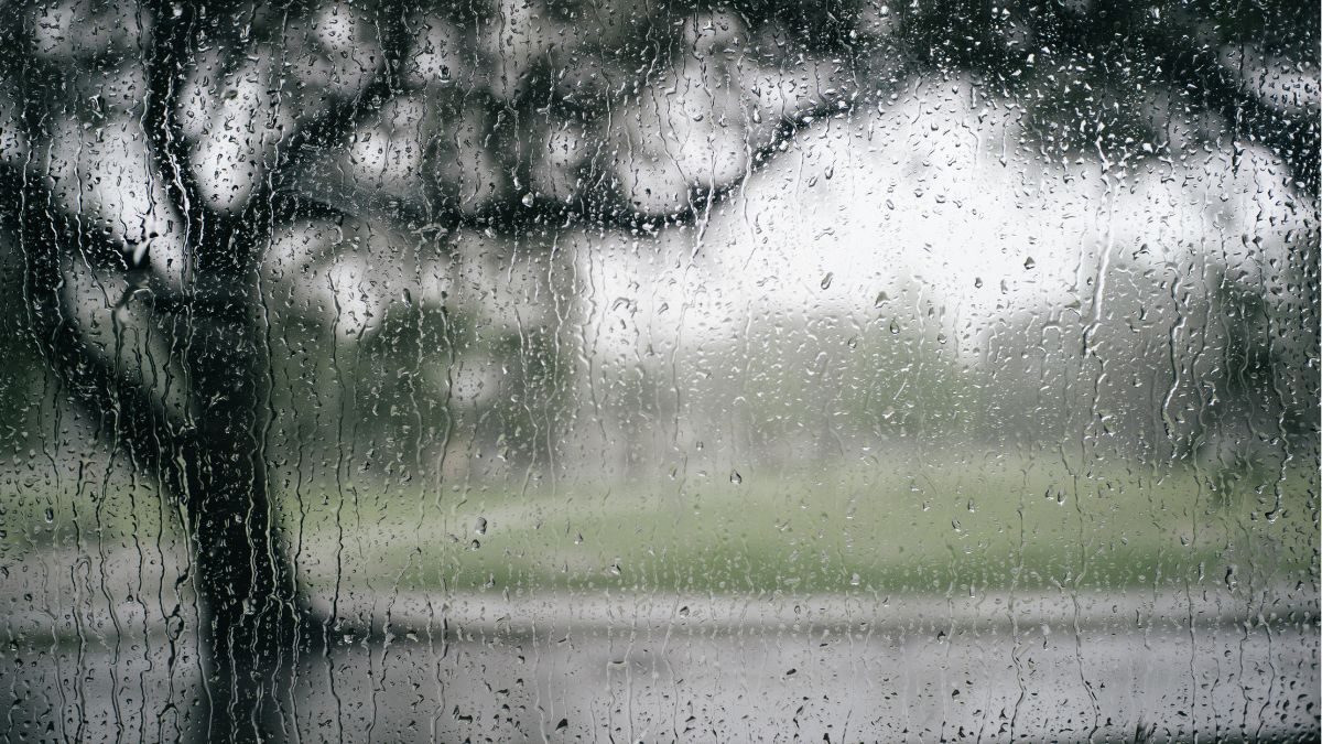

Adelaide is heading into a cool, mostly cloudy stretch, with showers around today before conditions gradually settle into a calmer and slightly milder weekend.
Today is the wettest and windiest day of the week for the city, with a high chance of showers and tops only reaching 15 degrees in the CBD. West to southwesterly winds at 20 to 30 km/h will keep things feeling chilly across the metro area, including Elizabeth, Glenelg and Noarlunga, while Mount Barker stays even cooler at 14 degrees.
Thursday stays cloudy, with a medium chance of showers, most likely during the morning, before winds ease later in the day. Adelaide is expected to dip to 10 overnight and reach 16 degrees. By Friday, the city remains under plenty of cloud, though rain chances drop right back to only a slight chance of a shower, with light winds and a top of 17 degrees.
The weekend brings a more settled feel. Saturday is forecast to be partly cloudy, with the chance of morning fog around the hills and only a slight chance of a shower in town. Light winds and a top of 17 degrees should make for a fairly comfortable day once any early greyness clears. Sunday continues in much the same way, with partly cloudy skies and light winds becoming easterly during the day. Temperatures stay steady, with a low of 8 and a high of 17 degrees.
Early next week, Adelaide nudges a little warmer. Monday reaches 20 degrees under partly cloudy skies, with just a slight chance of a shower as east to northeasterly winds pick up. Tuesday also tops out at 20 degrees, though the chance of showers increases again, bringing the possibility of a slightly wetter end to the seven-day outlook.
Across regional South Australia, the story is broadly similar, with a cold front moving away and a ridge of high pressure bringing calmer weather in behind it. For the rest of Wednesday, isolated showers are expected across the Southern Agricultural Area and nearby ranges, later contracting to windward coasts and ranges by evening. There is also the chance of small hail with showers about the west coast and Eyre Peninsula during the day, along with a slight chance of an early morning thunderstorm about the Flinders Ranges. Conditions stay colder than average, and brisk west to southwesterly winds will be felt at times along southern coastal fringes and inland parts of the northeast before easing.
From Thursday into Saturday, much of the state looks cooler than average, with patchy morning frost possible through parts of the Flinders and Pastoral districts and fog affecting sections of the west coast, Eyre Peninsula and areas on and east of the ranges. Showers are expected to be light and fairly limited, mainly about coastal districts, windward coasts and the Agricultural Area, though western parts of the state could see showers redevelop on Saturday. Rainfall totals through to the end of Saturday are expected to stay low across much of SA, generally below 2 mm, while Agricultural Areas, southern pastorals and western districts could pick up between 2 and 15 mm, with isolated falls of 15 to 20 mm on exposed coasts and ranges.
Happy Wednesday, stay dry!
Warnings
Marine Wind Warning Summary for South Australia
Strong Wind Warning for the following areas:
South Central Coast, Upper South East Coast and Lower South East Coast
Cancellation for the following area:
Far West Coast
Flood Warning
Final Flood Warning for the Bremer River
FLOODING EASED ALONG THE BREMER RIVER
Minor flooding has now eased along the Bremer River. No significant rainfall is forecast over the catchment in the next few days.
Safety Advice:
* Don’t drive, walk, swim or play in floodwater because it is dangerous.
* Stay away from flooded drains, rivers, streams and waterways.
* Obey road closure signs. Plan ahead so you don’t drive on flooded roads.
* Check the ABC and local media for updates. The situation can change quickly, so stay informed.
* For local emergency management warnings and advice visit www.ses.sa.gov.au/incidents-and-warnings/incidents-and-warnings-map/.
Adelaide 7-Day Summary Forecast
Wednesday: Max 15°C – Partly cloudy. High chance of showers. Winds west to southwesterly 20 to 30 km/h.
Thursday: Min 10°C, Max 16°C – Cloudy. Medium chance of showers, most likely in the morning. Winds westerly 15 to 20 km/h becoming light in the late afternoon.
Friday: Min 8°C, Max 17°C – Cloudy. Slight chance of a shower. Light winds.
Saturday: Min 9°C, Max 17°C – Partly cloudy. The chance of morning fog about the hills. Slight chance of a shower. Light winds.
Sunday: Min 8°C, Max 17°C – Partly cloudy. Light winds becoming easterly 15 to 20 km/h during the day.
Monday: Min 10°C, Max 20°C – Partly cloudy. Slight chance of a shower. Winds east to northeasterly 15 to 25 km/h.
Tuesday: Min 11°C, Max 20°C – Partly cloudy. Medium chance of showers. Winds northeasterly 15 to 20 km/h.