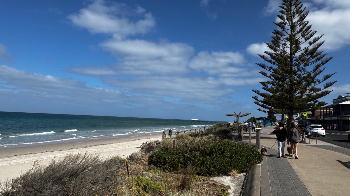

Adelaide is set for a calm and sunny start to the week, with mild days, cool mornings and plenty of clear skies before a wetter change arrives from Tuesday and lingers through the back half of the week.
For the rest of today, Adelaide can expect sunny conditions with just a slight chance of early fog around the hills and southern suburbs. Light winds will keep things settled, and the city is heading for a top of 20 degrees, with slightly warmer conditions in the north around Elizabeth and a cooler 19 degrees along the coast at Glenelg and in Mount Barker. Sunday follows a very similar pattern, with mostly sunny skies, a cool morning low of 7 degrees and a top of 19.
The start of the new week is looking especially pleasant. Monday will stay mostly sunny, with another chance of morning fog about the hills and southern suburbs before clearing into a dry afternoon. Temperatures will lift a little, reaching 21 degrees, while light winds become north to northeasterly by evening.
Tuesday marks the shift. Adelaide is expected to begin the day mostly sunny, but cloud will increase and showers are likely to develop during the afternoon and evening as a cold front moves across South Australia. Winds will strengthen from the north and northwest before swinging around to the southwest later in the day. The temperature will climb to 22 degrees before the change moves through, bringing a cooler feel by night.
That cooler run settles in on Wednesday, with a cloudy day and a medium chance of showers. After Tuesday’s relative warmth, the drop to a top of 16 degrees will be noticeable, especially with southwesterly winds turning westerly during the morning. Showers remain in the picture on Thursday, although conditions should improve slightly, with a forecast top of 18 degrees under partly cloudy skies.
Friday continues that unsettled pattern. Adelaide is expecting partly cloudy conditions with a high chance of showers and a top of 18 degrees. While rainfall totals for the city are not especially heavy, the second half of the week will feel much more like a return to classic early spring conditions, with cooler air, patchy showers and more changeable skies after the settled weekend start.
Across the rest of South Australia, the weekend is shaping up as mostly dry and warmer than average, thanks to a high pressure system extending across the state. Morning fog patches are expected about southern coastal districts today, while Sunday and Monday bring more fog and patchy frost on and east of the ranges, particularly through the South East. Regional communities can also expect mostly sunny conditions through to Monday, with above average maximum temperatures and only a slight shower chance near the western border at first.
By Tuesday, conditions become more active across the state as the cold front moves through. Isolated showers are expected to develop about the Agricultural Areas, with stronger winds around coastal districts and the ranges ahead of a west to southwesterly change. Rainfall totals to the end of Tuesday are forecast to be around 2 to 5mm in the far west and Agricultural Areas, mainly near windward coasts and ranges, and in the South East, with local falls of 5 to 15mm possible. Isolated falls of 15 to 30mm are also possible near the western border with thunderstorms.
For those on Adelaide’s metropolitan waters, conditions remain gentle through the weekend and into Monday, with light winds, seas below half a metre and mostly sunny weather. Tuesday will be the pick-up day on the water, with northerly winds increasing to 20 knots before shifting west to southwesterly in the evening, and seas building to around 1 metre.
Adelaide 7-Day Summary Forecast
- Saturday: Max 20°C – Sunny.
- Sunday: Min 7°C, Max 19°C – Mostly sunny.
- Monday: Min 8°C, Max 21°C – Mostly sunny.
- Tuesday: Min 12°C, Max 22°C – Shower or two.
- Wednesday: Min 11°C, Max 16°C – Shower or two.
- Thursday: Min 11°C, Max 18°C – Shower or two.
- Friday: Min 11°C, Max 18°C – Shower or two.