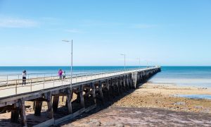

Adelaide is in for a cold, showery start the weekend, with wintry conditions hanging around before a drier spell slowly settles in early next week.
Friday looks like the wettest day of the seven-day outlook for Adelaide, with cloudy skies, a very high chance of showers and a top of just 15 degrees. Westerly winds will be fairly brisk through the day before easing off by evening, so it’s set to feel especially chilly across the city and suburbs. Saturday won’t be much warmer, again reaching 15 degrees, with more showers likely, particularly through the morning and afternoon. The good news is winds will be lighter, although the southerly change will keep that winter bite in the air.
By Sunday, Adelaide should start to feel a little calmer, even if the temperature remains stuck at 15 degrees. Skies are expected to stay partly cloudy, with only a slight chance of a passing shower later in the day. Northern suburbs could also wake to some morning fog, so early travellers may want to allow a little extra time on the roads. Monday brings the pick of the long-range outlook, with mostly sunny conditions, light winds and only the slightest shower risk near the southern suburbs. After several grey days, it should be the most settled day of the run.
The middle of next week stays fairly cool but manageable. Tuesday is expected to reach 16 degrees, making it the mildest day in the forecast, though there is still a medium chance of a light shower. Wednesday turns partly cloudy again with just a slim chance of rain and a top of 15 degrees, while Thursday looks similar, though slightly cooler, with Adelaide forecast to reach 14 degrees.
Across regional South Australia, the broader pattern is being driven by a low pressure system south of the Bight, followed by a cold front and then a high moving in from the west. Showers are expected across western districts and the agricultural areas on Friday, with lighter falls extending into parts of the Flinders and Pastoral districts before easing later in the day. There is also the chance of thunderstorms near southern coasts early on Friday, with fresher winds around coastal areas.
Through Saturday, isolated showers will linger mainly over the southern agricultural area, with a slight chance of light showers reaching southern pastoral parts and the west. Sunday and Monday look quieter, with isolated showers mostly limited to windward coasts and the far south east, while inland areas may see morning fog and patchy frost, especially around parts of the Mid North and southern Flinders. Rainfall totals are generally modest, though windward coasts and the Mount Lofty Ranges could pick up higher local falls.
Marine conditions remain rougher than the city forecast might suggest, with strong wind warnings current for several South Australian coastal waters on Friday and part of Saturday. There is also ongoing flood advice for inland river systems, where elevated river levels continue around the Warburton River at Poothapootha Waterhole and the lower Cooper Creek around Innamincka. Closer to Adelaide, the final flood warning for the Onkaparinga River advises that flooding is no longer expected at Oakbank.
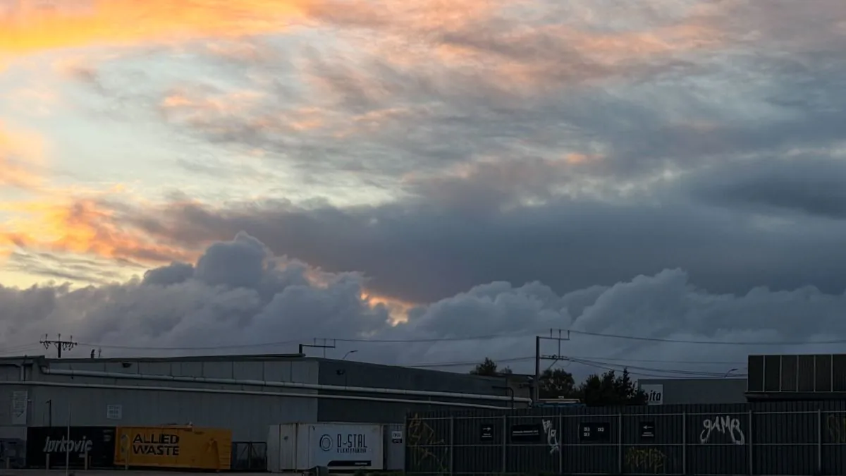
Happy Friday, stay dry!
Adelaide 7-Day Summary Forecast
Friday: Max 15°C – Showers.
Saturday: Min 9°C, Max 15°C – Showers.
Sunday: Min 6°C, Max 15°C – Partly cloudy.
Monday: Min 6°C, Max 15°C – Partly cloudy.
Tuesday: Min 8°C, Max 16°C – Possible shower.
Wednesday: Min 9°C, Max 15°C – Partly cloudy.
Thursday: Min 7°C, Max 14°C – Partly cloudy.