
Disclaimer: This article was drafted with AI assistance and reviewed by our editors before publication
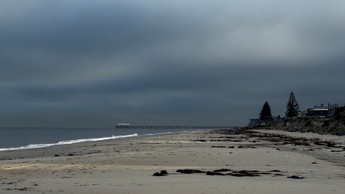
Adelaide is in for a wet and wintry start to the week, with rain setting in today before conditions gradually improve and sunnier weather returns by Thursday and into the weekend.
Monday looks set to be the soggiest day for the city, with cloudy skies and a very high chance of rain across Adelaide. Falls of 10 to 25mm are possible, which is a decent soaking for the metro area, and temperatures will stay cool with a top of just 16 degrees in the city. Northeasterly winds will pick up through the morning before easing back later in the day.
That wet pattern continues into Tuesday, although the rain is expected to be most likely in the morning and afternoon rather than all day. Adelaide is tipped to reach 17 degrees after an overnight low of 12, with north to northwesterly winds shifting south to southwesterly during the day.
By Wednesday, Adelaide should finally catch a break. The forecast is for partly cloudy skies, light winds and just a slight chance of any lingering shower activity. After two wet days, it’ll be a calmer and more settled day, although still cool, with temperatures ranging from 9 to 17 degrees.
Thursday brings the pick of the working week, with sunny skies and a top of 19 degrees. Light winds will become north to northwesterly during the morning before easing again in the afternoon, making for a much more pleasant end to the week’s first half. Early risers across parts of the state may see fog and frost, but Adelaide’s city forecast stays dry and bright.
Looking ahead, Friday brings partly cloudy conditions and a medium chance of a shower, with only light rainfall possible if anything does develop. The temperature will lift to 20 degrees after a low of 10. Saturday and Sunday both look comfortably settled, with mostly sunny skies across the city.
Saturday has a slight chance of a shower and a top of 21 degrees, while Sunday trends a touch cooler at 20 degrees with light winds and only a very slim chance of rain. For anyone planning markets, sport or a long lunch outdoors, the weekend is shaping up far better than the start of the week.
Across South Australia, the broader picture is more active. A low pressure system and trough moving across the state today and Tuesday will push showers statewide, with rain areas developing over parts of the pastoral districts, West Coast and Eyre Peninsula before spreading into central and eastern districts. Some locally heavy falls are possible, and thunderstorms may develop in the Northern Agricultural Area and pastoral districts, especially through the central north. By midweek, conditions begin to settle as a high moves in, with only isolated showers lingering about the agricultural area on Wednesday before clearing. Another trough approaches the southwest later on Thursday, bringing the chance of fresh showers and possible thunderstorms in western districts. Rainfall totals to the end of Thursday are expected to be heaviest through parts of Eyre and Yorke Peninsulas and the Mount Lofty Ranges, where isolated localised falls of 40 to 60mm are possible with thunderstorms.
There are Strong Wind Warnings for the Far West Coast, Upper West Coast, Lower West Coast, Central Coast and Spencer Gulf.
Adelaide 7-Day Summary Forecast
– Monday: Max 16°C – Rain.
– Tuesday: Min 12°C, Max 17°C – Rain.
– Wednesday: Min 9°C, Max 17°C – Partly cloudy.
– Thursday: Min 9°C, Max 19°C – Sunny.
– Friday: Min 10°C, Max 20°C – Possible shower.
– Saturday: Min 11°C, Max 21°C – Mostly sunny.
– Sunday: Min 9°C, Max 20°C – Mostly sunny.