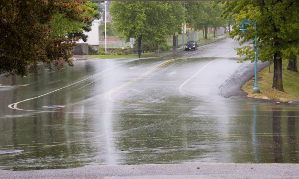

Adelaide is in for a cool, changeable stretch to start the week, with showers lingering today before brighter and slightly warmer conditions gradually return across the city. For locals planning a Sunday outing, it’s a day to keep the umbrella close, with a wet and breezy start easing through the afternoon before Adelaide heads into a calmer few days.
Today will stay cloudy across Adelaide, with a very high chance of showers and between 6 and 15mm possible, though the rain is expected to become less likely later in the day. Southerly winds at 20 to 30km/h will swing southwesterly during the morning before easing right back tonight, helping keep the top temperature to just 18 degrees. It’s a noticeably cool day for late October, and the hills will feel colder again, with Mount Barker only reaching 15 degrees.
Monday keeps that cooler-than-average feel in place. Adelaide is expected to see partly cloudy skies with the chance of a shower or two, mainly in the morning and early afternoon. Winds will stay fairly light for much of the day, turning west to southwesterly around midday before easing again in the evening. The city is forecast to dip to 10 degrees overnight and climb to 19 degrees during the day.
By Tuesday, things begin to settle a little more. Adelaide should see a partly cloudy day with only a slight chance of a passing shower, and temperatures edge up to 20 degrees after another chilly 10-degree start. Light winds will freshen from the southwest through the day, then turn southeasterly in the evening.
Wednesday shapes up as the pick of the first half of the week, with mostly sunny conditions across the city and a top of 22 degrees. There is a chance of morning fog about the hills, so early commuters through the Mount Lofty Ranges may want to allow a little extra time. Light winds will become southwesterly during the day before turning southeasterly later on.
The warmer shift becomes more noticeable on Thursday, with Adelaide heading for a partly cloudy 25 degrees. There’s only a slight chance of a late shower, but easterly winds will start to signal a more unsettled end to the week. Friday then looks a little more mixed, with a medium chance of showers and the chance of a thunderstorm as east to northeasterly winds build. The temperature will ease slightly to 24 degrees after a milder overnight low of 17.
By Saturday, Adelaide should hold onto partly cloudy conditions with just a slight chance of a shower. Winds will swing from east to northeasterly to westerly during the morning, and the city is tipped to reach 23 degrees. It’s not a bad Halloween outlook at this stage, but there could still be a stray shower around, so anyone heading out later in the week will want to keep across the updates.
Across regional South Australia, the broader pattern remains more active. Showers and possible thunderstorms are affecting southern districts today, tending to become broader rain areas before contracting northeastwards. Showers and thunderstorms are also possible in the far northwest, while showers may redevelop over agricultural areas later. The far northeast carries the risk of severe thunderstorms this afternoon, including damaging wind gusts. Through Monday and Tuesday, isolated showers are expected about the agricultural areas and western coasts, while the north and west stay the focus for possible thunderstorms. Some of those storms in the northwest on Tuesday could become severe, again with a damaging wind gust risk. By Wednesday, early fog is possible on and east of the Mount Lofty Ranges, while showers and thunderstorms continue across the north and west. Rainfall totals across the state are generally expected to sit between 2 and 10mm, although parts of the agricultural areas, western coasts and the north could pick up 10 to 20mm, with localised falls of 20 to 30mm. Thunderstorms may bring heavier bursts of 20 to 50mm.
Warnings
Marine Wind Warning
Strong Wind Warning for the following area:
Spencer Gulf
Warning to Sheep Graziers
for the Mount Lofty Ranges, West Coast, Lower Eyre Peninsula, Eastern Eyre Peninsula, Yorke Peninsula, Kangaroo Island, Mid North, Riverland, Murraylands, Upper South East, Lower South East and North West Pastoral forecast districts.
Cancelled Warnings and Alerts
The road weather alert for the Adelaide Area has been cancelled.
Severe Thunderstorm Warning for people in North East Pastoral district has been cancelled.
Adelaide 7-Day Summary Forecast
Sunday: Max 18°C – Showers easing.
Monday: Min 10°C, Max 19°C – Shower or two.
Tuesday: Min 10°C, Max 20°C – Partly cloudy.
Wednesday: Min 10°C, Max 22°C – Mostly sunny.
Thursday: Min 12°C, Max 25°C – Partly cloudy.
Friday: Min 17°C, Max 24°C – Shower or two.
Saturday: Min 16°C, Max 23°C – Partly cloudy.
Related
 Severe thunderstorm warning expands across SA as large hail and damaging winds threaten