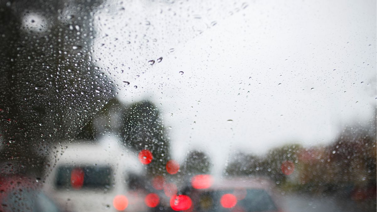

This week will continue to be wet, windy and wintry here in Adelaide, with the city set for a soaking through Wednesday and Thursday before conditions gradually settle across the weekend. After a partly cloudy Tuesday with just a medium chance of a shower, the bigger story is the run of cold fronts moving across South Australia, bringing gusty winds, widespread rain and a notably colder feel by the end of the working week.
For Adelaide today, showers are still possible but should become less likely this afternoon, with northwesterly winds turning northerly and the temperature reaching around 17 degrees in the city. Morning fog is also possible in parts of the state.
Wednesday then looks like the wettest and most unsettled day for metro Adelaide, with cloudy skies, a very high chance of showers and even the chance of a thunderstorm in the morning. Rainfall totals between 9 and 20mm are possible, with strong northerly winds shifting northwesterly and adding a blustery edge to the day.
Thursday keeps the umbrellas in action, with another very high chance of showers and fresh to strong winds pushing through as temperatures slip further, topping out at just 15 degrees. Another 10 to 25mm is possible, making this the kind of midwinter day best tackled with waterproof layers and some extra care on the roads.
By Friday, Adelaide should start to see the worst of the wet weather move through, though showers are still likely, especially in the morning. Westerly winds will turn southwesterly before easing later in the day, with the temperature again reaching only 15 degrees. Saturday remains cool and cloudy, with a medium chance of a passing shower and lighter southerly winds developing.
Sunday looks drier but cooler again, with partly cloudy skies, easterly to southeasterly winds and a low chance of rain. By Monday, conditions improve more clearly, with mostly sunny skies, a chilly morning minimum of 5 degrees and a top of 15 degrees offering a calmer start to next week.
Across regional South Australia, the same active pattern will be felt in different ways depending on where you are. Isolated light showers are possible through central and eastern districts today, with rain developing in the far west this evening. On Wednesday, showers and isolated thunderstorms are expected to spread from the west across the state before contracting to the Southern Agricultural Area later in the day.
The Bureau of Meteorology says severe thunderstorms with gusty winds and large hail are possible about parts of the Flinders, Mid North and Riverland districts, as well as southern parts of the North East Pastoral district. Thursday keeps showers going across the Agricultural Areas, possibly extending into southern pastoral areas, while southern coastal districts could also see damaging winds and isolated thunderstorms.
By Friday, showers contract to southern coastal districts as colder southwesterly winds gradually ease. Rainfall totals by the end of Friday are expected to be fairly broad, with 5 to 15mm across much of the state, 15 to 30mm possible in central and eastern districts and near the western coast of Eyre Peninsula, and local falls of 30 to 50mm possible about Kangaroo Island, Mount Lofty Ranges and the Lower South East.
Happy Tuesday, stay dry!
Adelaide 7-Day Summary Forecast
– Tuesday: Max 17°C – Shower or two.
– Wednesday: Min 11°C, Max 16°C – Showers.
– Thursday: Min 10°C, Max 15°C – Showers.
– Friday: Min 10°C, Max 15°C – Showers easing.
– Saturday: Min 8°C, Max 15°C – Possible shower.
– Sunday: Min 7°C, Max 14°C – Partly cloudy.
– Monday: Min 5°C, Max 15°C – Mostly sunny.