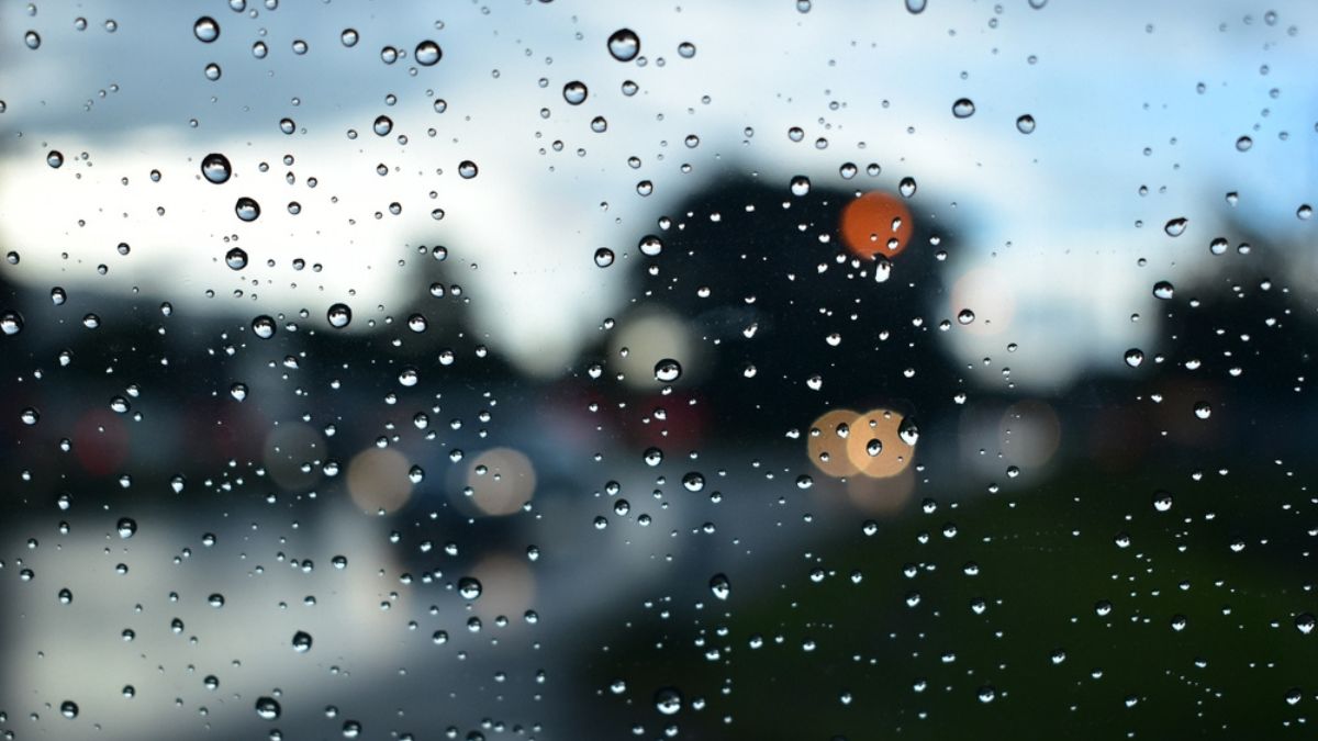

Adelaide is in for a cool, changeable week, with showers on and off through the back half of this week before another wetter burst arrives early next week.
Today will feel unsettled across the city as a cold front brushes southern South Australia. Adelaide is expecting a partly cloudy day with a medium chance of showers, easing later this evening, and a top of 17 degrees. Northwesterly winds will shift westerly during the afternoon before becoming light tonight, which should help conditions settle a little after dark. Thursday keeps a similar feel in place, with another shower or two possible, a low of 9 degrees and a top of 17. Winds will start from the north to northwesterly before turning west to northwesterly through the middle of the day.
By Friday, cloud cover will linger and showers are most likely in the morning. Temperatures will dip slightly, with Adelaide heading for a cool maximum of 16 degrees after an overnight low of 10 degrees. Winds will stay fairly light before turning west to southwesterly during the day. Saturday looks to be one of the more manageable days of the week, with partly cloudy skies, just a slight chance of a morning shower and light winds. The city is forecast to reach 17 degrees after a low of 9 degrees.
Sunday brings a small lift, with Adelaide warming to 18 degrees under partly cloudy skies. There is only a slight chance of a later shower, and light winds will become northerly during the day. The more noticeable change arrives at the start of the new week. Monday is shaping up to be the wettest day in the seven-day stretch, with a high chance of showers, between 1 and 10mm possible, and a top of 17 degrees after a morning low of 10. Tuesday stays unsettled, with more showers likely, a forecast range of 9 to 17 degrees, and northerly winds turning west to northwesterly during the morning.
Across the rest of South Australia, the midweek front will bring the most active weather to central and eastern parts today, with rain at times in the southeast and showers gradually contracting to southern coasts and ranges by evening. There is also the risk of thunderstorms in the northeast and southeast this morning, with storms redeveloping in the northeast this afternoon.
On Thursday and Friday, attention turns to the pastoral and Flinders districts, where showers, rain at times and possible thunderstorms are expected before clearing later Friday. Agricultural areas will also see patchy showers, especially along windward coasts and ranges, along with early fog on several mornings. Frost is also on the cards by Friday and Saturday for parts of the Flinders, Mid North, agricultural areas and south of the pastoral districts. Rainfall totals through to the end of Saturday are mostly modest, but higher falls are expected through the Mount Lofty Ranges, near the eastern border and parts of the pastoral districts, with isolated heavier thunderstorm falls possible.
For coastal communities and anyone heading offshore, Adelaide Metropolitan Waters should stay relatively moderate, with seas easing from 1 to 1.5 metres today to below 1 metre from tonight, though strong winds remain a concern along several South Australian coastal stretches.
Happy Wednesday!
Warnings
Marine Wind Warning Summary for South Australia
Strong Wind Warning for the following areas:
Central Coast, South Central Coast, Upper South East Coast and Lower South East Coast
Adelaide 7-Day Summary Forecast
– Wednesday: Max 17°C – Shower or two.
– Thursday: Min 9°C, Max 17°C – Shower or two.
– Friday: Min 10°C, Max 16°C – Shower or two.
– Saturday: Min 9°C, Max 17°C – Possible morning shower.
– Sunday: Min 7°C, Max 18°C – Partly cloudy.
– Monday: Min 10°C, Max 17°C – Showers.
– Tuesday: Min 9°C, Max 17°C – Showers.