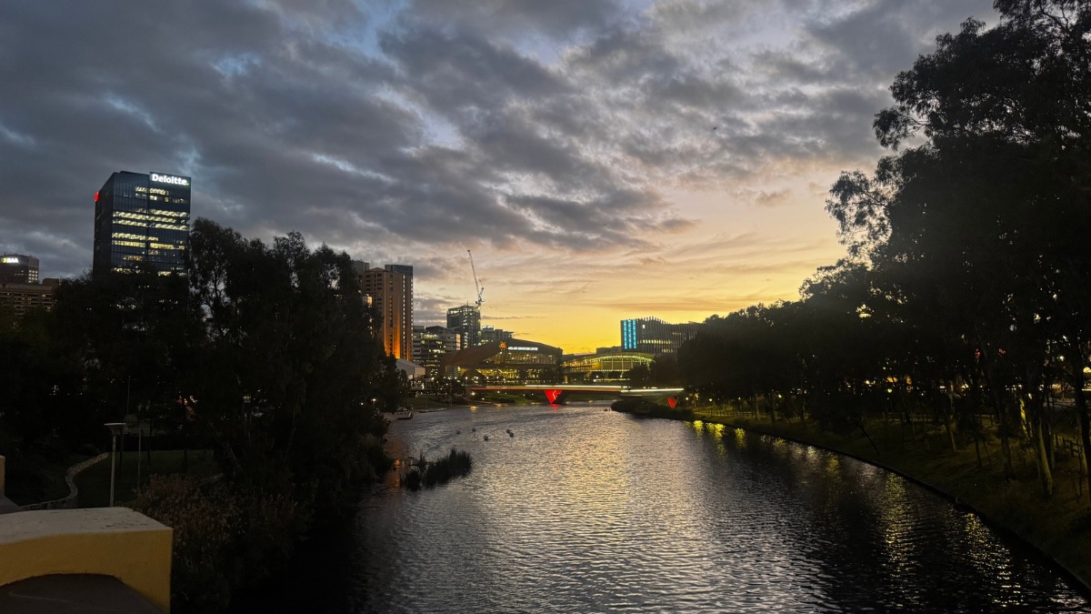

Adelaide is heading into a warm midweek spell before a cooler, wetter change sweeps across the city for the weekend and into next week, bringing the best chance of showers and even the possibility of a thunderstorm by Saturday.
After an early run of cloud, Wednesday is expected to clear across Adelaide, with the city reaching a top of 26 degrees. Light winds will shift south to southwesterly through the afternoon before turning east to southeasterly in the evening, making for a fairly comfortable end to the day. It’s a calm lead-in to a hotter Thursday, when temperatures are set to jump to 31 degrees under partly cloudy skies. Winds will start east to northeasterly before tending north to northwesterly, but rain chances remain very low.
Friday still looks fairly mild, though conditions will begin to turn later in the day. Adelaide is forecast to reach 28 degrees with partly cloudy skies, before the chance of a late shower moves in during the evening. There is also the chance of an evening thunderstorm, as winds swing from east to northeasterly around to the northwest and then southwesterly during the day. That shift marks the beginning of a more noticeable change.
By Saturday, the cooler air arrives properly. Showers are expected across Adelaide, with a very high chance of rain and the possibility of an afternoon thunderstorm. The temperature will drop back to 23 degrees after a morning low of 16, and fresh southwesterly winds will make it feel quite different to the warmth of earlier in the week. Rainfall totals of 2 to 15mm are possible in the city, making this the wettest day in the seven-day outlook.
The cooler pattern sticks around through Sunday, with showers most likely in the morning before easing later in the day. Adelaide is only expected to reach 18 degrees, with gustier southerly to southwesterly winds adding to the chill. Monday stays cloudy with a possible shower or two and another top of 18 degrees, while Tuesday brings similar conditions, though with a slight lift to 19 degrees. For anyone planning outdoor events, beach time or a trip to the markets, the second half of the weekend looks much less settled than the warm days leading into it.
Across South Australia, the broader outlook is more active, especially away from the metro area. Showers and possible thunderstorms are expected across the northwest on Wednesday, with storms also possible through central and eastern districts before clearing later in the day. On Thursday, morning fog is likely in southern parts of the state, while showers and thunderstorms redevelop across the north. The far northwest is the main area to watch, with severe thunderstorms possible and damaging wind gusts and large hail flagged as risks.
By Friday and Saturday, the weather becomes more widespread, with showers and thunderstorms extending through northern, central and eastern districts before spreading across most of the state. Temperatures will stay above average in many areas at first, especially through the south ahead of the change, before cooler conditions move into western districts by Saturday. Rainfall totals of 2 to 10mm are expected broadly across South Australia, increasing to 5 to 15mm in agricultural areas, the Flinders Ranges and the far northwest, with isolated higher falls possible. In the southeast, heavier falls of up to 40mm could develop with severe thunderstorms.
Happy Wednesday!
Warnings
Severe thunderstorms may be severe in the far northwest with damaging wind gusts and large hail possible.
Adelaide 7-Day Summary Forecast
– Wednesday: Max 26°C – Cloud clearing.
– Thursday: Min 17°C, Max 31°C – Partly cloudy.
– Friday: Min 21°C, Max 28°C – Possible late shower.
– Saturday: Min 16°C, Max 23°C – Showers.
– Sunday: Min 13°C, Max 18°C – Showers easing.
– Monday: Min 11°C, Max 18°C – Shower or two.
– Tuesday: Min 11°C, Max 19°C – Shower or two.
Related
 Severe thunderstorm warning expands across SA as large hail and damaging winds threaten

 Adelaide’s best pubs and hotels revealed at 2026 AHA|SA Awards for Excellence