
Adelaide is heading into a cool but mostly calm start to the weekend, before a noticeably wetter change arrives early next week and sticks around into the first days of July.
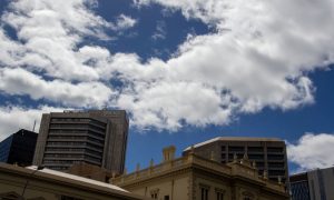
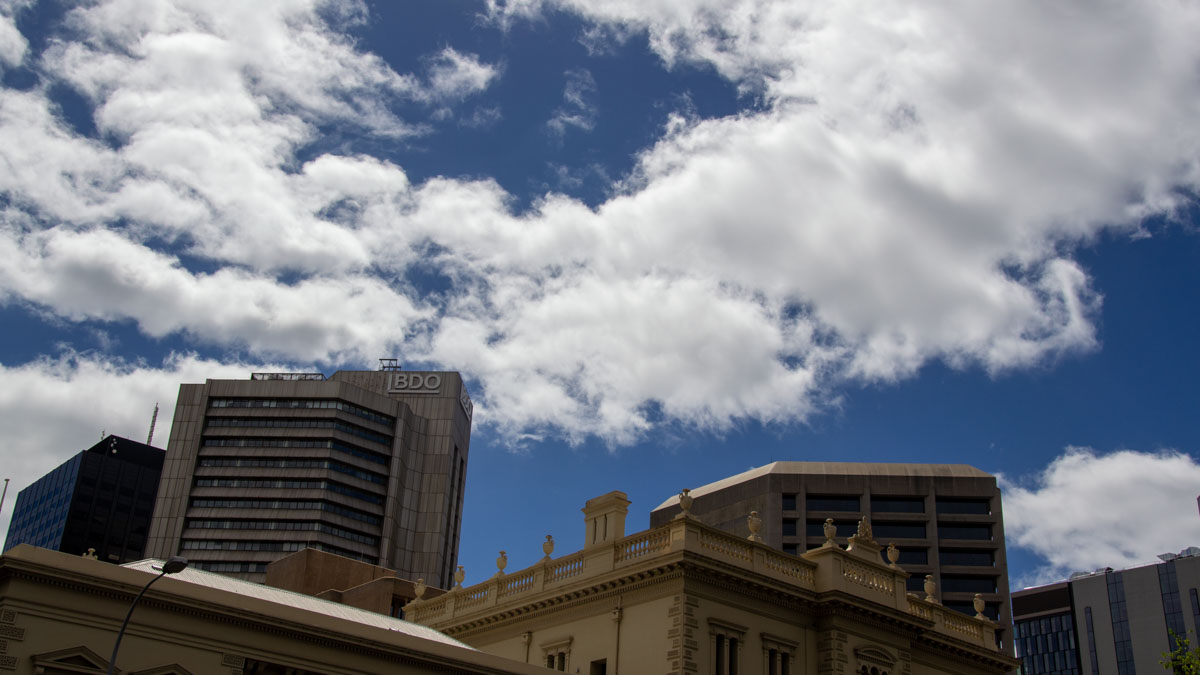
Today, the city is set for a partly cloudy day with the chance of some morning fog before skies clear a little through the afternoon. It’s not shaping up as a particularly warm end to the working week, with Adelaide only reaching 16 degrees and light winds keeping things fairly gentle across the metro area. Saturday looks much the same, with another cold start and a top of 16 degrees under partly cloudy skies. Winds will stay light for much of the day, only briefly picking up from the east to northeast during the morning.
Sunday brings a small shift, with Adelaide expected to edge up to 18 degrees as northeasterly winds become more noticeable. It should stay partly cloudy for most of the day, though there’s a slight chance of a shower, so it may be worth keeping an umbrella nearby if you’re heading out. The bigger change arrives on Monday, when showers become much more likely, especially through the afternoon and evening. The city is forecast to reach 17 degrees, with rainfall totals between 1 and 6mm possible as northeasterly winds turn northerly during the day.
That unsettled pattern is then expected to continue through the rest of the seven-day outlook. Tuesday stays cloudy with a high chance of showers and another top of 17 degrees, while Wednesday looks particularly wet, with showers becoming very likely and possible rainfall of 4 to 15mm. Winds will also strengthen, turning northerly then northwesterly as the day goes on. By Thursday, Adelaide will still be under thick cloud with more showers on the cards, another 4 to 15mm possible, and brisk northwesterly winds shifting westerly. Temperatures are expected to remain steady, hovering around 16 to 17 degrees, so while there’s no major blast of winter cold, it will feel damp and grey across the city.
For those along the coast, Adelaide Metropolitan Waters are expected to stay relatively manageable through the weekend, with seas below 1 metre and light to moderate easterly to northeasterly winds. Monday turns a little more active on the water, with winds freshening before turning northerly and an 80 per cent chance of showers.
Across regional South Australia, the broader picture is also fairly subdued at first, thanks to a high pressure system extending a ridge over the state. That means below-average daytime temperatures, patchy morning fog in agricultural areas, and even patchy frost in the South East through Friday and Saturday. Light showers are possible near southern coasts and east of the ranges, while the far west starts to see isolated showers develop by Saturday. On Sunday and Monday, the approaching trough will spread isolated showers across most districts, with a chance of thunderstorms in the far southwest on Sunday and the far northeast on Monday. Rainfall totals are generally expected to stay low, mostly under 2mm, though parts of the West Coast and pastoral districts could see isolated falls of 5 to 15mm.
Happy Friday!
Adelaide 7-Day Summary Forecast
– Friday: Max 16°C – Partly cloudy.
– Saturday: Min 7°C, Max 16°C – Partly cloudy.
– Sunday: Min 10°C, Max 18°C – Partly cloudy. Slight chance of a shower.
– Monday: Min 11°C, Max 17°C – Showers.
– Tuesday: Min 11°C, Max 17°C – Shower or two.
– Wednesday: Min 11°C, Max 17°C – Showers.
– Thursday: Min 11°C, Max 16°C – Showers.