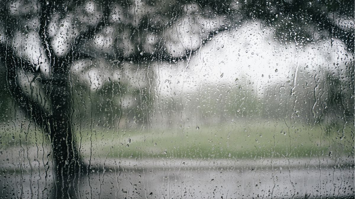

Adelaide is in for a wet and wintry start to the week, with showers, cool daytime temperatures and brisk winds on Monday before calmer, sunnier conditions settle in across the back half of the week.
The city’s grey spell kicks off today with a very high chance of showers and a top of just 16 degrees in the CBD. Northwesterly winds will swing westerly through the middle of the day, adding a chill to the air, while rainfall totals of 2 to 7mm are possible. Around the suburbs, temperatures will stay similarly cool, with Elizabeth heading for 15 degrees, Glenelg and Noarlunga both reaching 16, and Mount Barker topping out at 14.
Tuesday keeps the unsettled feel going, although Adelaide should start to improve as the day wears on. Showers are still likely, especially in the morning, before easing later, with a slightly milder top of 17 degrees after a minimum of 11 overnight.
By Wednesday, Adelaide moves into a much quieter winter pattern. The showers clear, skies turn partly cloudy and light winds take over. There is the chance of some morning fog, especially around the northern suburbs, so early commuters may want to allow a little extra time. Temperatures will remain cool, with a minimum of 6 degrees and a maximum of 16.
Thursday brings the brightest weather of the week so far, with sunny skies and light winds giving Adelaide a crisp but pleasant winter day.
Friday follows the same theme, staying sunny with a low of 6 and a top of 17. It’s the sort of mid-winter stretch that should feel far more comfortable once the early chill lifts.
The weekend continues the run of settled weather. Saturday is expected to stay sunny, with light winds becoming northeasterly later and temperatures nudging up to 18 degrees.
By Sunday, Adelaide looks set for a mostly sunny day and the warmest conditions of the seven-day outlook, reaching 19 degrees after an overnight low of 9. There is a slight chance of a later shower, but for most of the day conditions should remain dry and pleasant.
Across South Australia, the broader pattern tells a similar story of a blustery start followed by a calmer midweek outlook. A cold front moving across the state’s southeast today is bringing showers across the agricultural area and Flinders Ranges, with the wettest conditions most likely along westward-facing coasts, elevated areas and the southeast. Fresh northwest to southwesterly winds are expected about southern coasts and the southeast, while northern parts of the state stay lighter and drier.
On Tuesday, isolated showers linger across the agricultural area before becoming less likely, then by Wednesday and Thursday conditions turn dry statewide under the influence of a stronger high pressure system. Rainfall totals through to the end of Thursday are generally expected to stay modest, around 2 to 5mm across the agricultural area, west coast and Flinders Ranges, increasing to 5 to 15mm about the Mount Lofty Ranges.
There are gale warnings for the Lower South East Coast and strong wind warnings for South Central Coast and Upper South East Coast.
Have a great week ahead!
Adelaide 7-Day Summary Forecast
Monday: Max 16°C – Showers.
Tuesday: Min 11°C, Max 17°C – Showers easing.
Wednesday: Min 6°C, Max 16°C – Partly cloudy.
Thursday: Min 6°C, Max 16°C – Mostly sunny.
Friday: Min 6°C, Max 17°C – Sunny.
Saturday: Min 7°C, Max 18°C – Sunny.
Sunday: Min 9°C, Max 19°C – Mostly sunny.