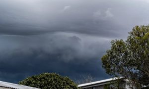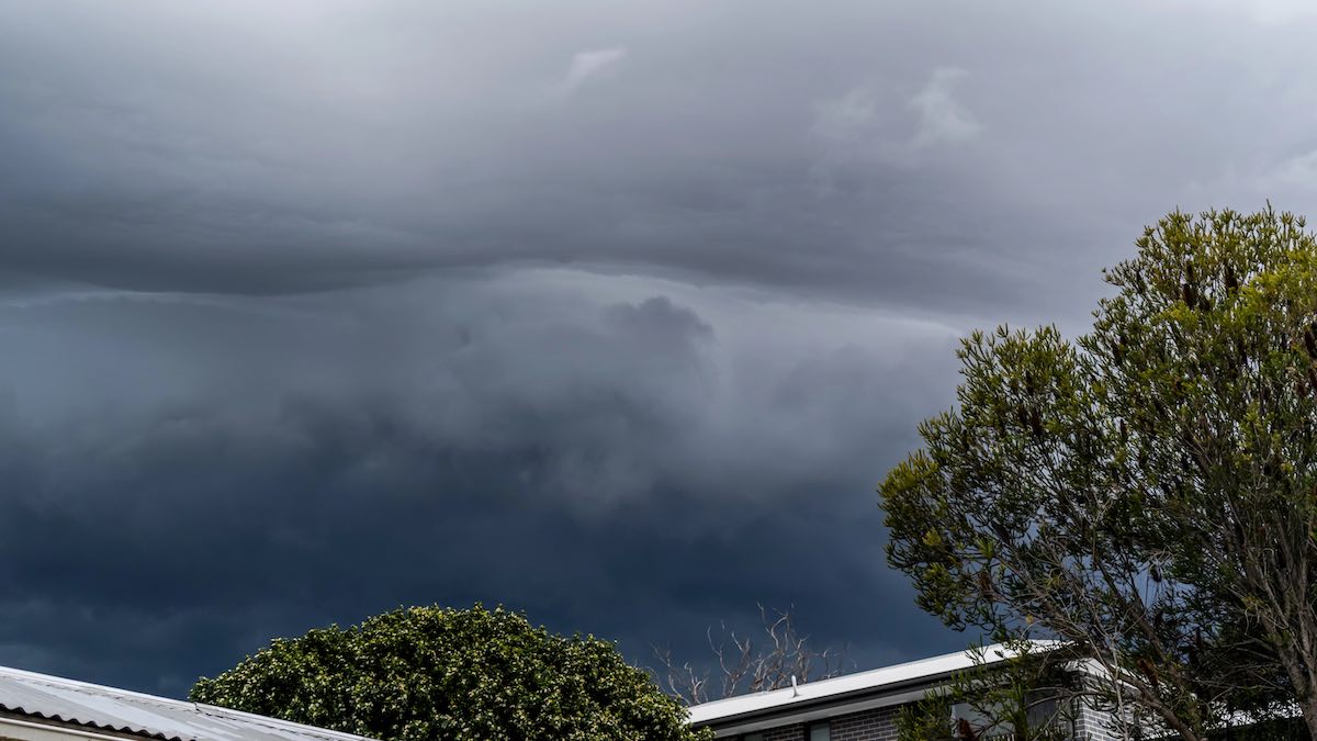

Adelaide is set for a chilly, showery stretch over the next few days, with a pair of cold fronts dragging winter well and truly across the city before calmer conditions settle in early next week.
Today starts partly cloudy in Adelaide, but the main change arrives later tonight as showers build across the metro area. Northwesterly winds of 25 to 40 km/h will make it feel colder than the forecast top of 15 degrees, especially closer to the coast.
Friday looks like the wettest day of the city’s seven-day outlook, with showers most likely through the morning and afternoon as winds swing from westerly to southerly. Again, the maximum is just 15 degrees, so it will be one of those classic Adelaide winter days where a waterproof jacket will go a long way.
By Saturday, the city stays cool with a high chance of a shower or two, most likely through the morning and afternoon, but winds will ease off and conditions should feel a little less harsh.
Sunday brings another step toward calmer weather, with only a slight chance of a shower and the possibility of morning fog around the northern suburbs. It will be a cold start at 6 degrees before reaching 14.
Monday continues that quieter pattern, with partly cloudy skies, light winds becoming northwesterly during the day, and just a slight chance of a shower.
Looking further ahead, Tuesday turns cloudier with a medium chance of showers and a top of 16 degrees, before Wednesday cools back to 14 under cloudy skies with only a slight chance of rain.
Across the rest of South Australia, the broader picture is also being shaped by these cold fronts. Rain and isolated thunderstorms over eastern districts are expected to clear this morning, while showers spread through western agricultural districts and into central agricultural areas later today. Isolated thunderstorms are also possible near western and southern coasts, with strong winds at times near the coast. Friday keeps showers across western districts and the agricultural area, with some reaching the Flinders and Pastoral districts before contracting south and easing by evening. The weekend trend is for showers to become more isolated and mostly confined to southern parts of the state, while inland areas may wake to early morning fog on both Saturday and Sunday.
Rainfall totals through to the end of Sunday are expected to be generally 10 to 40 mm, though southern coastal areas and the southern Mount Lofty Ranges are likely to pick up 40 to 70 mm, with isolated higher falls possible. That’s worth watching in already damp catchments, particularly in the Adelaide Hills and nearby districts. Further north and northeast, inland river levels remain elevated, and flooded roads are still affecting travel in remote parts of the state.
Strong Wind Warning for the following areas today:
Lower South East Coast, Adelaide Metropolitan Waters, Far West Coast, Upper West Coast, Lower West Coast, Central Coast, South Central Coast, Spencer Gulf, Gulf St Vincent, Investigator Strait and Upper South East Coast
Strong Wind Warning for the following areas on Friday:
Lower South East Coast, Far West Coast, Upper West Coast, Lower West Coast, Central Coast, South Central Coast and Upper South East Coast
Adelaide 7-Day Summary Forecast
– Thursday: Max 15°C – Partly cloudy. Very high chance of showers.
– Friday: Min 11°C, Max 15°C – Cloudy. Very high chance of showers,.
– Saturday: Min 9°C, Max 15°C – Partly cloudy.
– Sunday: Min 6°C, Max 14°C – Partly cloudy.
– Monday: Min 7°C, Max 15°C – Partly cloudy. Slight chance of a shower.
– Tuesday: Min 9°C, Max 16°C – Cloudy. Medium chance of showers.
– Wednesday: Min 9°C, Max 14°C – Cloudy. Slight chance of a shower.