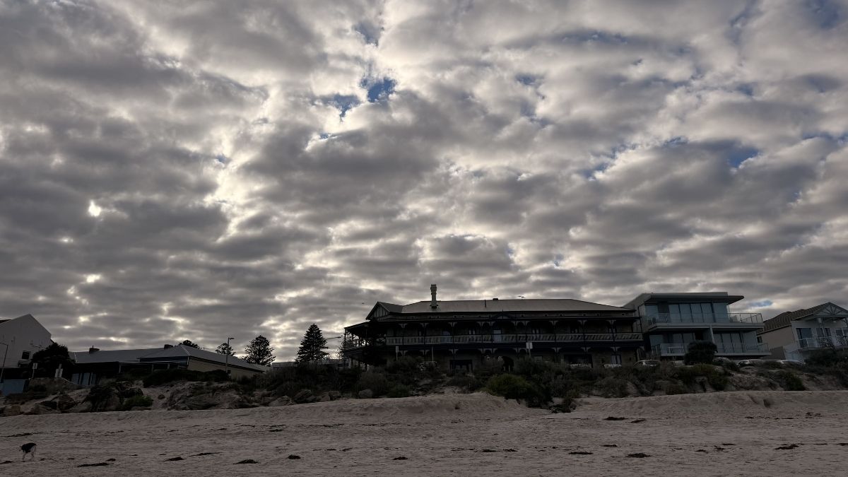

Adelaide is in for a cool, showery start to September, with wet and windy bursts set to roll through the city across much of the week before temperatures lift slightly into the weekend. A cold front moving across South Australia today is shaping the first few days, and while there will be a few breaks, it’s not looking like a completely dry run any time soon.
Today, Adelaide will become increasingly cloudy before showers develop through the afternoon and evening, with a possible thunderstorm also in the mix later today. Temperatures are set to reach 22 degrees in the city, with slightly cooler conditions along the coast. Winds will shift through the day, starting from the northwest to northeast before turning west to southwesterly by evening, which will bring a cooler change across the metro area.
That change will be felt clearly on Wednesday, when the city drops to a top of just 16 degrees after an overnight low of 12. Skies will stay cloudy, and while rain won’t be as widespread as today, there is still a medium chance of a shower. Westerly winds will pick up during the morning, keeping the day feeling brisk, especially in exposed suburbs and near the water.
Thursday looks unsettled again, with a high chance of showers, most likely during the morning and afternoon. Adelaide’s maximum will edge up only slightly to 17 degrees, with northwesterly winds strengthening before turning westerly and then easing later in the day. It’s another day where having the umbrella and an extra layer close by will be a smart move.
Friday is shaping up as the wettest day of the Adelaide forecast, with a very high chance of showers, particularly in the afternoon and evening. The city is expected to reach 19 degrees after a chilly 10-degree start, and rainfall totals of 2 to 10 mm are possible. Northerly winds will freshen during the morning before tending northwesterly later, ahead of another front moving over the state.
The weekend keeps the mixed pattern going rather than delivering a full spring turnaround. Saturday will be partly cloudy with a medium chance of showers and a top of 17 degrees, with northwesterly winds turning westerly during the morning. Sunday brings a slightly warmer 20 degrees and partly cloudy skies, with another medium chance of a shower or two as winds turn from north to northeasterly around to west to northwesterly through the day. By Monday, Adelaide holds onto similar conditions, with a top of 19 degrees, partly cloudy skies, and another medium chance of showers as winds swing from easterly and southeasterly to south to southwesterly during the morning.
Across the rest of South Australia, the picture is also active, especially through the southern agricultural districts and along parts of the coast. Showers will spread across the Agricultural Areas today and into the far south of the pastoral districts by evening, with the chance of an afternoon thunderstorm about southern coastal districts. Wednesday stays cooler in the south and warmer in the north, with isolated showers lingering through the Agricultural Areas and the far south of the pastoral districts.
Another burst of showers is expected on Thursday, with more frequent falls across the Southern Agricultural Areas during the morning, while patchy rain develops in the far southwest, west of about Ceduna, with a chance of a thunderstorm there in the evening. On Friday, areas of rain are forecast to extend from the west over the Agricultural Areas and the far south of the pastoral districts before easing back to showers later in the day. By the end of Friday, the heaviest falls are expected about the Southern Agricultural Areas, with local totals of 15 to 25 mm possible about the Mount Lofty Ranges, Lower South East and Kangaroo Island, and isolated higher falls possible in the Mount Lofty Ranges.
Warnings Section
Strong Wind Warning for the following areas:
South Central Coast, Upper South East Coast and Lower South East Coast
Adelaide 7-Day Summary Forecast
– Tuesday: Max 22°C – Showers developing.
– Wednesday: Min 12°C, Max 16°C – Possible shower.
– Thursday: Min 12°C, Max 17°C – Showers.
– Friday: Min 10°C, Max 19°C – Showers.
– Saturday: Min 11°C, Max 17°C – Shower or two.
– Sunday: Min 9°C, Max 20°C – Shower or two.
– Monday: Min 10°C, Max 19°C – Shower or two.