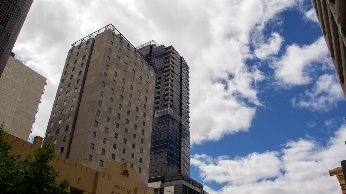

Adelaide is set for a cool, showery start to the weekend before a sharp warm-up arrives early next week, with temperatures climbing into the low 30s before another wetter change pushes through by Thursday.
For today, the city is looking at a cloudy day with a high chance of showers and the chance of a thunderstorm this morning. Adelaide’s top is forecast to reach 19 degrees, with slightly milder conditions in the northern suburbs and cooler weather through the hills. Southeasterly winds will also be a feature, strengthening through the day and into the evening, which will make conditions feel brisk around the metro area and along the coast.
Sunday brings a calmer outlook for Adelaide after the wet start. Skies will stay partly cloudy, and while there is a slight chance of an early shower about the hills and southern suburbs, most of the city should stay dry. Temperatures will lift a little, reaching 21 degrees, while easterly winds remain fresh before easing during the middle of the day.
The warmer trend becomes more noticeable on Monday as partly cloudy conditions continue and the mercury jumps to 26 degrees. Easterly winds will shift northeasterly through the afternoon, setting up a much warmer Tuesday across the city. Tuesday is shaping up to be the pick of the next few days for anyone planning outdoor catch-ups or a stroll by the coast, with mostly sunny skies and a top of 31 degrees expected. Winds will stay northeasterly before becoming lighter in the evening.
That burst of spring warmth won’t last all week. By Wednesday, cloud is expected to increase again, bringing a medium chance of showers later in the day and a cooler top of 23 degrees. Thursday looks to be the wettest day in Adelaide’s seven-day outlook, with cloudy conditions, a very high chance of showers and the chance of a thunderstorm. Rainfall between 2 and 15mm is possible, and winds are expected to swing from north to northeasterly before a westerly change moves through. Friday stays unsettled, with a possible shower or two in the morning and a cooler maximum of 18 degrees under partly cloudy skies.
Across broader South Australia, the weekend weather pattern is being shaped by a high pressure ridge over the south and a trough stretched across central parts of the country. That setup is bringing isolated showers and possible thunderstorms today through southern and central districts, across the Eyre, Yorke and Fleurieu Peninsulas, and in the far west. There is also the chance of thunderstorms about the Flinders and southern parts of the Pastoral districts, although some of these may be dry. Coastal districts are staying closer to average for this time of year, while inland areas are much warmer than usual.
Conditions settle for many districts on Sunday, with just the chance of an early shower along the southern coast and a thunderstorm possible in the far northwest. Early next week trends drier for much of the state, although the west may see isolated showers and storms return late Monday before spreading further east into central districts on Tuesday. Rainfall totals are generally expected to stay low, though heavier isolated falls remain possible about the west, Kangaroo Island, the Flinders Ranges and the southeast.
Warnings
**Strong Wind Warning for the following areas:**
Far West Coast, Upper West Coast, Lower West Coast, Central Coast, South Central Coast, Spencer Gulf, Gulf St Vincent and Investigator Strait
Adelaide 7-Day Summary Forecast
– Saturday: Max 19°C – Showers.
– Sunday: Min 10°C, Max 21°C – Partly cloudy.
– Monday: Min 11°C, Max 26°C – Partly cloudy.
– Tuesday: Min 19°C, Max 31°C – Mostly sunny.
– Wednesday: Min 15°C, Max 23°C – Shower or two.
– Thursday: Min 15°C, Max 23°C – Showers.
– Friday: Min 12°C, Max 18°C – Shower or two.