
Adelaide is heading into a changeable week, with a cool and showery Saturday set to interrupt an otherwise mild run before warmer spring conditions build again early next week. For locals planning markets, sport or time by the coast, the main weather story is a brief dip in temperatures this weekend followed by a quick climb back toward 30 degrees by Tuesday.
Today stays fairly mild across Adelaide, with partly cloudy skies, light winds and only a slight chance of a passing shower. The city is forecast to reach 23 degrees, with similar conditions across the suburbs, including 24 degrees at Elizabeth and Mount Barker, and 22 degrees along the coast at Glenelg and Noarlunga. It’s a fairly easy start to the weekend, but the settled feel won’t last for long.
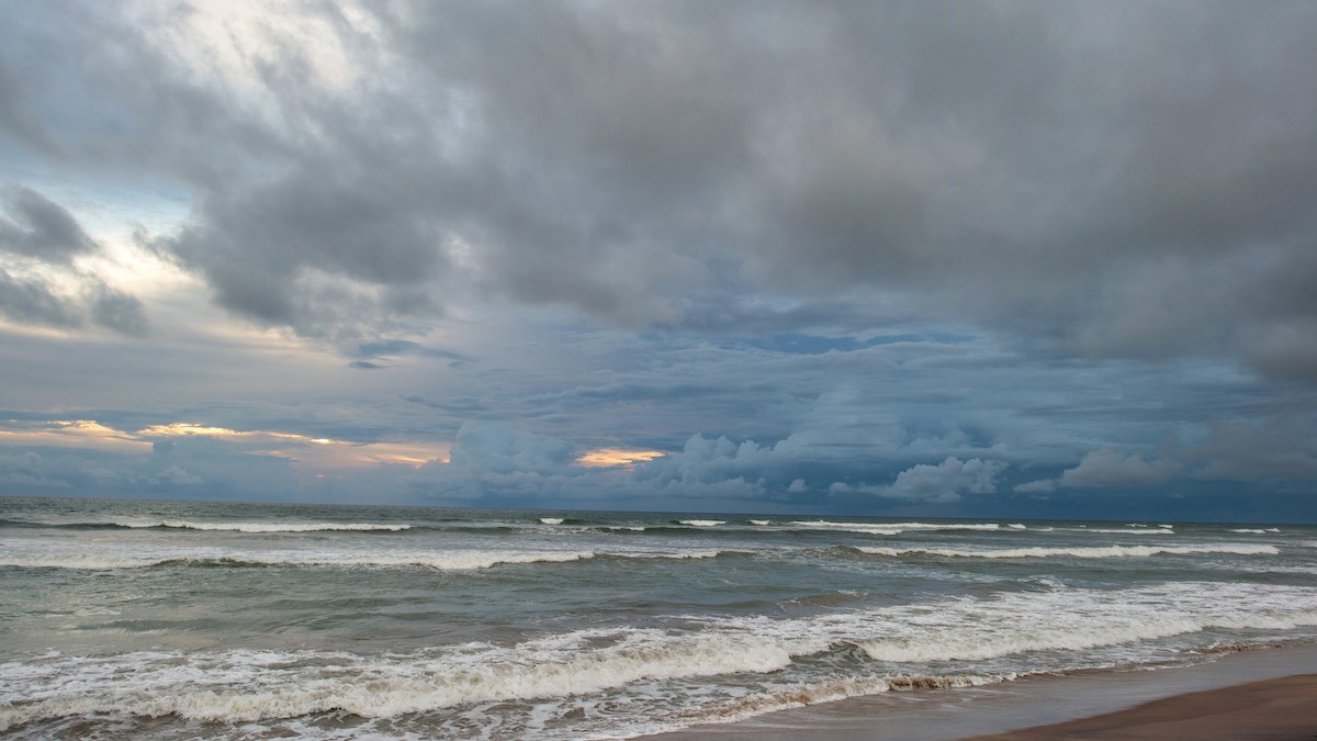
Saturday looks to be the wettest and coolest day of the seven-day stretch. Cloud will thicken across the metro area, showers are likely, and southeasterly winds will strengthen through the day and into the evening. Adelaide is only expected to reach 19 degrees after an overnight low of 13 degrees, making it a noticeably cooler day than Friday. Rainfall totals are not expected to be especially heavy in the city, but it will be enough to make for a damp and blustery feel, especially near the coast.
By Sunday, Adelaide begins to dry out again. Partly cloudy skies are forecast, with just a very low chance of rain and temperatures nudging back up to 21 degrees after a chilly morning low of 10. Southeasterly winds will remain brisk before easing slightly and tending easterly later in the day. It should feel fresher rather than cold, with a more comfortable afternoon after Saturday’s grey spell.
Monday brings a more noticeable warm-up. Adelaide is forecast to climb to 27 degrees under partly cloudy skies, with easterly winds turning northeasterly during the day. That shift in airflow is expected to bring drier and warmer conditions, and it sets up a taste of spring heat as the new week begins.
Tuesday is shaping up as the warmest day of the forecast period, with a top of 30 degrees after a mild overnight minimum of 19 degrees. The morning should be mostly sunny before cloud increases later in the day, with a slight chance of a shower developing as winds turn from northeasterly to north or northwesterly. For Adelaide residents, it looks like the best chance this week to enjoy a genuinely warm spring afternoon, though the late change is worth keeping an eye on.
Conditions turn a little more unsettled again by Wednesday, with partly cloudy skies and a medium chance of showers, most likely in the morning. The city is forecast to reach 23 degrees. Thursday continues that mixed pattern, with a high chance of showers and the chance of a thunderstorm as winds shift westerly during the day. Adelaide’s top is expected to be 25 degrees, rounding out a week that swings from light showers and coastal breezes to warm inland-style heat and back again.
Across regional South Australia, the broader pattern is being driven by a slow-moving trough over the west of the state, along with a weakening cold front brushing southern coasts today. That setup is keeping inland parts of SA much warmer than average, while coastal and agricultural districts see more cloud, cooler onshore winds and patchy showers.
Through Friday and Saturday, isolated showers are expected near western and southern coasts and through the southern agricultural area, with possible thunderstorms in the far northwest and a chance of thunder in the far west later in the weekend and again on Monday. Rain totals are generally low for most districts, but southern coastal areas, Kangaroo Island and the Lower South East could pick up the best falls, with isolated totals of 10 to 20mm possible. For boaties, conditions also turn gustier on Saturday along several coastal waters as stronger winds build.
Happy Friday!
Warnings
Strong Wind Warning for the following areas:
Far West Coast, Upper West Coast, Lower West Coast, Central Coast and South Central Coast
Adelaide 7-Day Summary Forecast
– Friday: Max 23°C – Partly cloudy. Slight chance of a shower.
– Saturday: Min 13°C, Max 19°C – Cloudy. High chance of showers.
– Sunday: Min 10°C, Max 21°C – Partly cloudy.
– Monday: Min 12°C, Max 27°C – Partly cloudy.
– Tuesday: Min 19°C, Max 30°C – Mostly sunny morning. Slight chance of a shower later in the day. Becoming cloudy.
– Wednesday: Min 16°C, Max 23°C – Partly cloudy. Medium chance of showers, most likely during the morning. Shower or two.
– Thursday: Min 14°C, Max 25°C – Partly cloudy. High chance of showers. The chance of a thunderstorm. Showers.