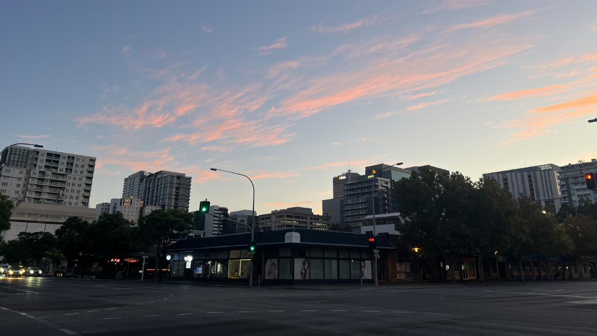

Adelaide is waking to a cold and foggy start, but the bigger picture for South Australia is a calm and mostly dry week ahead, with sunshine building across the city and daytime temperatures slowly lifting into the weekend and early next week.
For Adelaide, Wednesday begins with patchy morning fog that could make the commute slower and trickier than usual, especially for drivers heading through low-lying areas and around the suburbs at first light. Once that clears, the city is set for a mostly sunny afternoon with light winds and a top of 16 degrees. That settled pattern is then expected to hold right through the next seven days, making for a run of classic mid-winter weather that is chilly at the start and comfortable once the sun is out.
Thursday looks much the same, with the chance of more morning fog and a touch of frost before another sunny afternoon. The city is forecast to dip to 5 degrees overnight before reaching 16 degrees during the day. Friday stays bright and dry, with frost again possible around the hills and a slightly warmer top of 17 degrees. By Saturday, Adelaide should get a crisp but clear winter day, with sunshine, light winds and a top of 18 degrees.
Sunday continues that pleasant run, with mostly sunny skies and another top of 18 degrees. Early next week, conditions remain fairly settled. Monday is forecast to be mostly sunny despite some patchy cloud, with a mild overnight low of 10 degrees and a daytime top of 18 degrees. By Tuesday, cloud cover is expected to increase a little more and there is a slight chance of a shower, though the day should still be fairly mild with a top of 17 degrees. Across the full week, there is no sign of any major rain event for Adelaide, and winds are expected to stay light, helping keep conditions calm both on land and along the metro coast.
Adelaide Metropolitan Waters are also looking quiet through to Saturday. Winds are forecast to remain below 10 knots, seas below half a metre, and swell low, with fog the main feature early on Wednesday before mostly sunny conditions take over. It should be a gentle stretch for coastal walks, boating and time by the beach, though morning visibility may be reduced at first.
Across regional South Australia, the outlook is similarly dry under the influence of a strong high pressure system moving slowly east. The only hint of wet weather on Wednesday is the possibility of isolated morning showers in the Lower South East, while elsewhere the key story is fog and frost. Agricultural areas and districts south of the pastoral regions can expect widespread cold starts over the next few mornings, especially through central and eastern parts on Thursday and Friday.
Inland areas should stay near average for July at first, before temperatures edge slightly above average by Saturday. In the far north, days may stay a little cooler through Thursday before warming again. Overall, there is no significant rainfall forecast anywhere in the state through to the end of Saturday, which will come as welcome news for travel plans, weekend events and anyone hoping for a sunny run of winter weather.
Happy Wednesday!
Warnings
Road Weather Alert for Adelaide
Reduced visibility in fog will make road conditions dangerous during Wednesday morning in the Adelaide Area.
The SA Police advises that people should:
– Slow down and take extra care.
– Maintain a safe distance between you and the vehicle in front.
– Turn on your headlights.
For information on any road closures, please contact your local council or the Police.
The next alert will be issued by 11:00 am CST Wednesday.
Adelaide 7-Day Summary Forecast
Wednesday: Max 16°C – Morning fog then mostly sunny.
Thursday: Min 5°C, Max 16°C – Sunny.
Friday: Min 5°C, Max 17°C – Sunny.
Saturday: Min 7°C, Max 18°C – Sunny.
Sunday: Min 9°C, Max 18°C – Mostly sunny.
Monday: Min 10°C, Max 18°C – Mostly sunny.
Tuesday: Min 10°C, Max 17°C – Partly cloudy.