
Last updated July 2026
Images: Walking SA
South Australia is overflowing with beauty just waiting to be explored. As the weather cools, it’s the perfect time to hit the trails and explore some of the state’s best hikes and what better destination than a waterfall? Here are a few of SA’s standout waterfall walks.
Ingalalla Falls
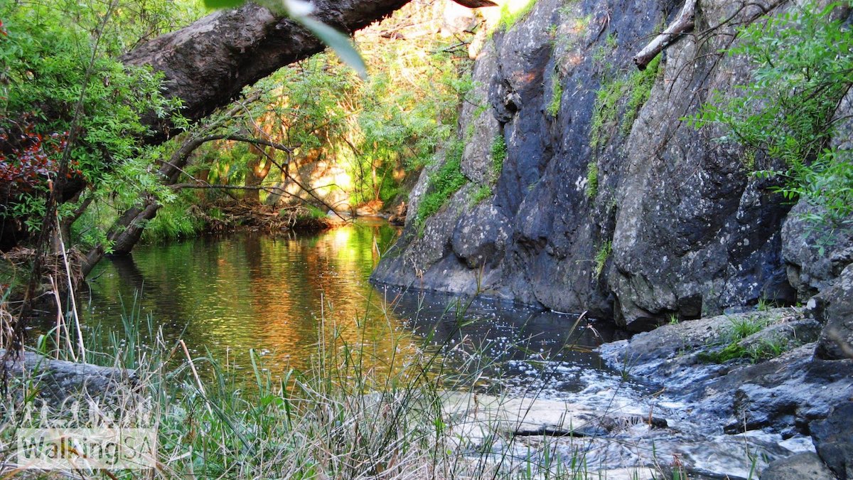
Head down to Second Valley, and soak in the stunning scenery as you stroll to this gem of the Fleurieu Peninsula. The waterfall is nestled among trees and cliffs, with heaps of birdlife to keep you entertained. The walk to the falls isn’t too tricky, and there is a car park and picnic set up.
Ingalalla Falls
Where: Hay Flat Rd, Hay Flat SA 5204
Distance and Duration: 0.5km, 45 mins return.
For more information, click here.
Loop of Upper Sturt Gorge, along River Trail
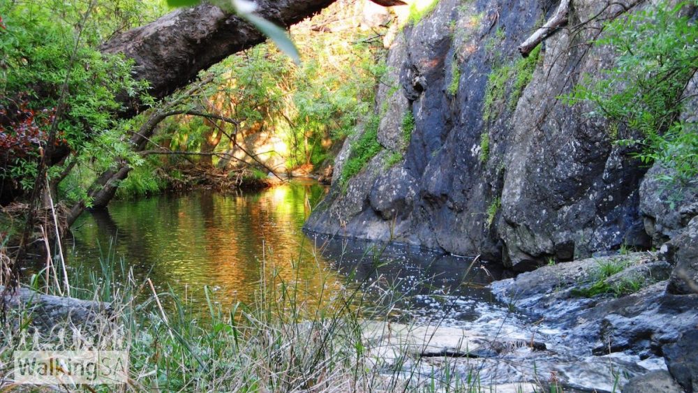
After a trail that is as adventurous as it is enjoyable? This loop of the upper section of the River Trail in Sturt Gorge Recreation Park is packed with river crossings and some rock scrambling. After rain, expect the river to be higher, and the stepping-stones across the eight river crossings may be underwater. The loop can be walked from Gate 12, on Broadmeadow Drive, and makes for a challenging but fun hike.
Loop of Upper Sturt Gorge, along River Trail
Where: Riverside Dr, Bedford Park SA 5047
Distance and Duration: 7.6km circuit, 3-4 hours return.
For more information, click here.
Main Valley and Rockdale Hill Hike
This 4.7km Adelaide Hills circuit takes about two hours and features a mix of single track, fire trails and some steep sections. The standout is the rocky waterfall climb on Rockdale Hill, tackled uphill anticlockwise or carefully downhill clockwise.
The trail winds through tall gums, with chances to spot koalas, and includes marked points of interest near the car park.
Main Valley and Rockdale Hill Hike
Where: Horsnell Gully Conservation Park | Old Norton Summit Road (turn onto Horsnells Gully Road) or Haven Road
Distance and Duration: 4.7km, 2 hours
For more information, click here.
Mannum Waterfall
The hike to the Mannum Waterfalls contains moderate to steep walking tracks along Reedy Creek. The falls are a geological phenomenon with large granite outcrops rising from the plains around Reedy Creek to provide natural waterfalls. The walking trails make it so hikers can enjoy the beauty nearby. Two car parks provide access to the falls. The first car park is on the left, which leaves a one-kilometre steep walk to the falls. The second car park is situated above the falls, with a short walk down to them. There are also toilets available, located 600 meters from the car park.
Mannum Waterfall
Where: Mannum SA 5238
Distance and Duration: 3km, 2-3 hours return.
For more information, click here.
Morialta Waterfall
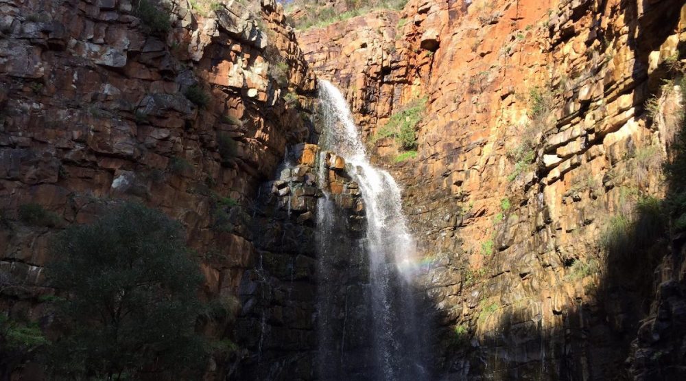
At only 10km east of the city centre, Morialta is a firm favourite amongst Adelaidians, and with its three stunning waterfalls, what’s not to love? With the name coming from the Kaurna phrase moriatta, meaning ever-flowing, depending on the time of year, you’re sure to see an abundance of flowing falls here. Plus, the park has a fantastic Mukanthi Play Space, bird and wildlife watching, hiking, and nature play areas. Plus parking, picnic space and public bathrooms!
Morialta Waterfall
Where: Morialta Falls Rd, Woodforde SA 5072
Distance and Duration: 1.7km, 45 mins return.
For more information, click here.
Waterfall Gully to Mt Lofty Summit
Within the Cleland Conservation Park, there are seven waterfalls, but the 30-metre fall at Waterfall Gully is definitely the most impressive. With cafes on each end of the trail, stop for a coffee or bite to eat before or after. Along with this, public toilets and parking are available.
Waterfall Gully to Mt Lofty Summit
Where: Start at Waterfall Gully Rd, Waterfall Gully, SA 5066, Australia. End at Mount Lofty Summit.
Distance and Duration: 3.9km, 1.5-3 hours.
For more information, click here.
Waterfall Hike, Belair National Park
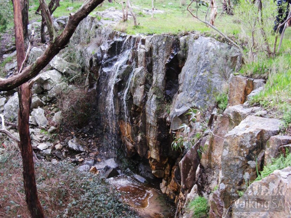
This hike within Belair National Park has two waterfalls to explore, the Lower and Upper Falls. Both are similarly large, framed by rocky cliffs, but are often dry or reduced to a light trickle, so they’re best visited after rain. A viewing platform overlooks the Lower Falls, while the trail runs along the top of the Upper Falls. Along the way, you’ll also pass through Echo Tunnel.
Waterfall Hike
Where: Belair National Park, Pines area
Distance and duration: 6.5km, 3 hours
For more information, click here.
These hikes vary in length and difficulty, but don’t fret, there is something for everyone! What better way to get out and enjoy nature this Winter?
Find everything easily on the go with our free iPhone app! Click here to download.