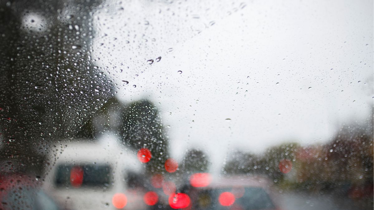

Adelaide is in for a cold, showery stretch this week, with wet and windy conditions lingering through the middle of the week before the city gradually settles into a calmer, slightly brighter weekend.
For Adelaide today, Monday stays cloudy with a very high chance of showers, though the rain is expected to ease later this afternoon and evening. The city is heading for a top of just 15 degrees, with southwesterly winds at 25 to 35 km/h turning west to northwesterly late in the day.
Tuesday brings more of the same, with cloud hanging around and showers increasing, most likely in the evening. Temperatures lift only slightly, from a low of 9 to a top of 16 degrees, while north to northwesterly winds strengthen at 25 to 35 km/h ahead of a change.
By Wednesday, Adelaide looks set for another grey and damp day, with showers continuing and west to southwesterly winds of 20 to 30 km/h keeping the air feeling brisk. The top will again sit around 15 degrees after a low of 8.
Thursday offers a small improvement, with a medium chance of showers rather than widespread wet weather, and lighter winds developing during the afternoon. It will still be cloudy, with temperatures between 9 and 16 degrees.
The back end of the week stays cool but becomes less unsettled. Friday remains cloudy with a medium chance of a shower and light winds, reaching 16 degrees after a low of 9.
Saturday is shaping up as a mostly dry winter day, with cloud lingering and only a slight chance of a shower. Another top of 16 degrees is forecast.
By Sunday, Adelaide should see the best conditions of the seven-day stretch, with partly cloudy skies, light winds, and just a slight chance of a shower. After a chilly morning low of 7, the temperature is expected to reach 17 degrees.
Across regional South Australia, showers are expected across the agricultural area through the first half of the week, with the wettest conditions likely along southern and western coasts, western-facing coasts and ranges, Eyre Peninsula, the Flinders Ranges and parts of the South East. Rainfall totals to the end of Thursday are expected to reach 10 to 20 mm across many agricultural districts, increasing to 20 to 30 mm about western facing coasts and ranges, with local falls of 30 to 60 mm possible about the Mount Lofty Ranges and with thunderstorms. The north is expected to see much lighter falls, with less than 2 mm forecast.
There are strong wind warnings for the Adelaide Metropolitan Waters, Upper West Coast, Lower West Coast, Central Coast, South Central Coast, Spencer Gulf, Gulf St Vincent, Investigator Strait, Upper South East Coast and Lower South East Coast.
Severe Weather Warning for damaging winds for people in parts of Flinders and North East Pastoral districts.
Adelaide 7-Day Summary Forecast
– Monday: Max 15°C – Showers.
– Tuesday: Min 9°C, Max 16°C – Showers increasing.
– Wednesday: Min 8°C, Max 15°C – Showers.
– Thursday: Min 9°C, Max 16°C – Shower or two.
– Friday: Min 9°C, Max 16°C – Possible shower.
– Saturday: Min 9°C, Max 16°C – Cloudy.
– Sunday: Min 7°C, Max 17°C – Partly cloudy.