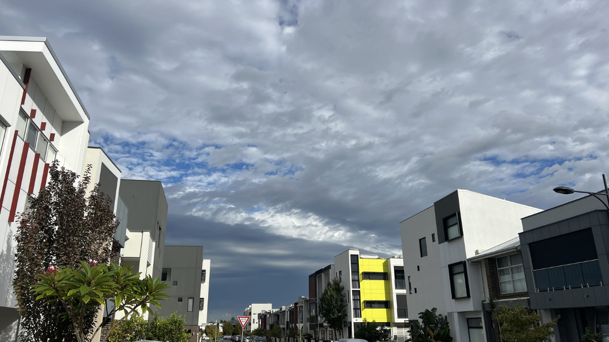

Adelaide is in for a cool start to the week before sunnier and milder spring weather takes over, with the city set to shake off early cloud and a few passing showers in time for a brighter run into the weekend.
For today, Adelaide will stay mostly cloudy, with a medium chance of showers developing later tonight as a front brushes the southern coast. Temperatures are only expected to reach 18 degrees in the city, with western winds turning southwesterly by the evening and helping keep things on the cool side.
Tuesday looks similar at first, with a cloudy day and just a slight chance of a brief shower early in the morning before conditions ease. The top will again hover around 17 degrees, and south to southeasterly winds will keep that chilly feel in the air.
By Wednesday, Adelaide settles into a run of calmer weather, although cloud is likely to linger and the day will stay cool with a top of 17 degrees after a morning low of 8. The real turnaround arrives on Thursday, when sunshine returns and the mercury edges up to 18 after a crisp start of just 6 degrees. From there, spring really starts to show itself. Friday is forecast to be sunny and warmer, reaching 22 degrees, before Saturday brings the pick of the week with full sunshine and a top of 25 degrees.
Sunday marks a slight change again, with some cloud returning and the chance of a light shower as winds swing around from the north to the southwesterly during the day. Even so, Adelaide should still see a mild top of 20 degrees. Overall, it’s a classic September mix: a cool and cloudy opening, a bright and settled middle stretch, and a small hint of change again by the end of the weekend. For anyone planning outdoor catch-ups, markets or a trip to the coast, the best window is shaping up from Thursday through Saturday.
Across South Australia, the week follows a similar broad pattern, though regional areas will see a few bigger contrasts. Morning fog is possible today through parts of the Agricultural Areas and West Coast, while the far northwest is the most unsettled part of the state with showers and isolated thunderstorms. Southern coastal districts are likely to see isolated showers develop this afternoon and evening, extending into the Southern Agricultural Area overnight.
Tuesday stays cooler than average across much of the state, with isolated showers possible through parts of the Agricultural Areas and Mid North before clearing later in the day. The far northwest could again see isolated showers and thunderstorms. By Wednesday and Thursday, much of regional SA turns dry and mostly sunny, though colder inland starts may bring patchy morning frost around the Flinders Ranges on Wednesday and on and east of the ranges on Thursday. Rainfall totals are expected to stay light in many districts, but southern coasts, the ranges and the South East could pick up between 5 and 10mm, while the far west may see 5 to 15mm with isolated heavier falls possible.
**Warnings**
**Marine Wind Warning Summary for South Australia**
**Wind Warnings for Tuesday 15 September**
**Strong Wind Warning for the following area:**
Lower South East Coast
**Adelaide 7-Day Summary Forecast**
– **Monday:** Max 18°C – Shower or two.
– **Tuesday:** Min 9°C, Max 17°C – Cloudy.
– **Wednesday:** Min 8°C, Max 17°C – Cloudy.
– **Thursday:** Min 6°C, Max 18°C – Sunny.
– **Friday:** Min 10°C, Max 22°C – Sunny.
– **Saturday:** Min 13°C, Max 25°C – Sunny.
– **Sunday:** Min 13°C, Max 20°C – Partly cloudy.