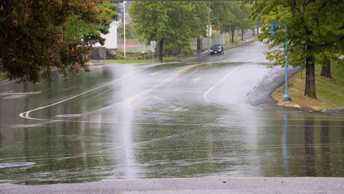

Adelaide is set for a wet, wintry start before calmer weather returns across the city next week, with rain, gusty winds and chilly temperatures leading the forecast through to the weekend.
Thursday is shaping up as the roughest day of the stretch for Adelaide, with cloudy skies, a very high chance of rain and strong northwesterly winds shifting westerly by the middle of the day. The city is heading for a top of just 15 degrees, with 8 to 20mm of rain possible, with winds expecting to ease later in the day.
Friday stays wintry, though not quite as wild. Adelaide can expect a cloudy day with a high chance of showers, most likely in the morning, before conditions gradually settle into the afternoon. Temperatures will remain cool, with a low of 9 and a top of 15 degrees.
By Saturday, the weather starts to ease, though the city won’t be completely clear of the grey skies just yet. Adelaide is forecast to stay cloudy with a medium chance of showers, mainly in the morning and afternoon, and there is also the chance of morning fog in the northern suburbs. Light winds will make for a quieter day overall, with temperatures again reaching 15 degrees after a low of 8 overnight.
Sunday looks more settled, with partly cloudy conditions and only a slight chance of rain. After a cold start of 6 degrees, Adelaide will again climb to around 15, with light winds becoming easterly through the morning before easing again later in the day.
That improvement becomes more noticeable at the start of next week. Monday is forecast to be mostly sunny, with a crisp morning low of 5 degrees and a top of 16. Light winds will become easterly during the day, helping bring a brighter feel across Adelaide. Tuesday continues the gentle warming trend, with mostly sunny conditions, a low of 7 and a top of 17 as winds turn northeasterly. By Wednesday, the city should reach 18 degrees under partly cloudy skies, with only a slight chance of a shower. After a cold and damp lead-in, Adelaide is looking at a much more comfortable finish to the seven-day outlook.
Across regional South Australia, the broader pattern remains active through the end of the week as a series of cold fronts move through southern waters. Showers are expected across the Southern Agricultural Area on Thursday, with some extending further north into pastoral districts. Isolated thunderstorms are also possible around southern coastal districts, and small hail may develop in the Lower South East. Maximum temperatures are expected to stay below average right across the forecast period.
Warnings
Gale Warning for the following areas today: Adelaide Metropolitan Waters, Central Coast, South Central Coast, Gulf St Vincent, Investigator Strait, Upper South East Coast and Lower South East Coa
Strong Wind Warning for the following areas today: Far West Coast, Upper West Coast, Lower West Coast and Spencer Gulf
Severe Weather Warning for people in parts of Lower South East district.
Adelaide 7-Day Summary Forecast
– Thursday: Max 15°C – Rain. Wind easing.
– Friday: Min 9°C, Max 15°C – Shower or two.
– Saturday: Min 8°C, Max 15°C – Possible shower.
– Sunday: Min 6°C, Max 15°C – Becoming cloudy.
– Monday: Min 5°C, Max 16°C – Mostly sunny.
– Tuesday: Min 7°C, Max 17°C – Mostly sunny.
– Wednesday: Min 9°C, Max 18°C – Partly cloudy.