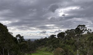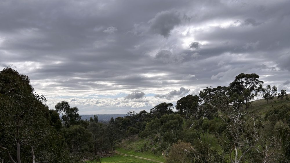

Adelaide is heading into a wet and wintry week, with showers set to build from today before a colder burst arrives later in the week. For anyone planning school runs, city commutes or time by the coast, the next seven days look unsettled, windy at times, and noticeably chillier by Thursday and into the weekend.
Cloudy skies and frequent showers are the main story for Adelaide today, with a top of 18 degrees and a very high chance of rain across the metro area.
Tuesday stays mostly grey, with a shower or two most likely in the early morning and a cooler-feeling top of 17 degrees.
The middle of the week looks to be the most active part of the forecast. Wednesday brings another cloudy day, but this time with a very high chance of showers, possible morning thunderstorms and strengthening winds. Rainfall could reach between 8 and 20 mm, which is likely to be enough for a proper soaking across Adelaide.
Thursday looks colder and rougher again, with showers continuing and winds turning from strong northwesterly to westerly during the day. The top drops to just 14 degrees, making it the chilliest day of the week so far.
By Friday, conditions begin to ease a little, although a few lingering morning showers are still likely. Adelaide should see a top of 15 degrees under partly cloudy skies, with westerly winds gradually shifting southwesterly.
Saturday stays cool and fairly quiet by comparison, with only a medium chance of a light shower and a top of 15 degrees.
Sunday then rounds out the week on a calmer note, with partly cloudy skies, light winds turning easterly, and just a slight chance of rain. It will still be brisk, with a morning low of 6 degrees and a maximum of 14.
Across South Australia, the broader pattern is being driven by a trough slipping southeast, followed by a series of low pressure systems and cold fronts passing south of the state. That means unsettled weather is not just an Adelaide story. Isolated showers are possible across all districts today, with the greatest chance about the northeast, while thunderstorms are also possible through parts of the pastoral districts and West Coast. Tuesday begins with fog patches in some areas before showers redevelop in central and eastern districts and later in the far west. By Wednesday and Thursday, the wet weather becomes more widespread, with showers and isolated thunderstorms moving across the west and then extending east. Rainfall totals of 5 to 15 mm are expected across much of the state by the end of Thursday, with 15 to 30 mm possible in central and eastern districts, and local falls of 30 to 50 mm about Kangaroo Island, Mount Lofty Ranges and parts of the southeast.
Marine conditions are also turning rough. Strong Wind Warning are in place for the for the lower West Coast, Central Coast, South Central Coast, Far West Coast and Lower South East Coast.
Adelaide 7-Day Summary Forecast
Monday: Max 18°C – Showers.
Tuesday: Min 11°C, Max 17°C – Shower or two.
Wednesday: Min 12°C, Max 17°C – Showers.
Thursday: Min 10°C, Max 14°C – Showers.
Friday: Min 9°C, Max 15°C – Shower or two.
Saturday: Min 8°C, Max 15°C – Possible shower.
Sunday: Min 6°C, Max 14°C – Partly cloudy.